File:Alamo Battle Plan Map.JPG
From MFIWiki
Size of this preview: 683 × 599 pixels.
Full resolution (963 × 845 pixels, file size: 62 KB, MIME type: image/jpeg)
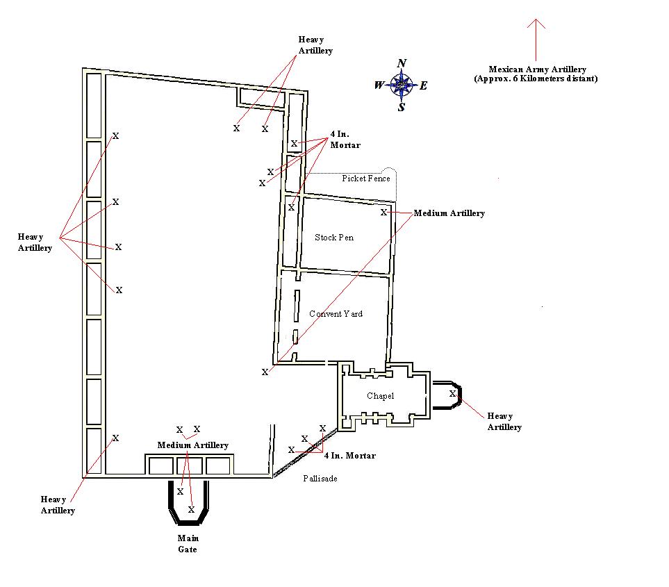
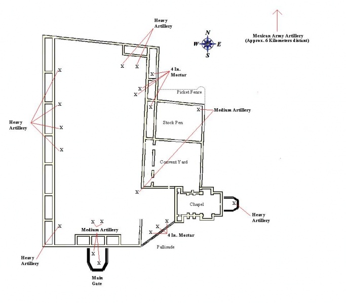
Map of the Alamo mission showing the "Texian" artillery positions.
File history
Click on a date/time to view the file as it appeared at that time.
| Date/Time | Thumbnail | Dimensions | User | Comment | |
|---|---|---|---|---|---|
| current | 07:15, 11 December 2010 | | 963 × 845 (62 KB) | Measterly (Talk | contribs) | Map of the Alamo mission showing the "Texian" artillery positions. |
- Edit this file using an external application (See the setup instructions for more information)
File usage
The following page links to this file: